Motuoane Energy (Pty) Ltd (Motuoane) (hereafter referred to as the applicant) has appointed Environmental Impact Management Services (Pty) Ltd (EIMS) as the Independent Environmental Assessment Practitioner (EAP) to assist with undertaking the required authorisation processes (including the statutory public participation), and to compile and submit the required documentation in support of application for Environmental Authorisation (EA) and other environmental permits and authorisations.
The applicant proposes to explore all saleable gases including but not limited to Methane, Carbon Dioxide, Helium, and Nitrogen within Exploration Right (ER) 386. Due to the large area and complex exploration methodology, the ER will be required for an initial period of three years with the option to renew for three additional periods of two years resulting in a total of nine years. The proposed exploration right application (ER386) is located over an area of approximately 60 000 hectares (ha), covering various farm portions near the towns of Welkom, Virginia, Hennenman and Odendaalsrus, Free State Province. The furthest boundaries of ER386 are 28°13’28.95″S; 26°55’2.76″E in the South, 27°57’37.57″S; 26°48’49.15″E in the West, 27°59’13.57″S; 27°11’13.06″E in the East and 27°46’34.45″S; 26°57’44.05″E in the North, the central coordinates are approximately 27°58’23.27″S; 26°59’38.94″E.
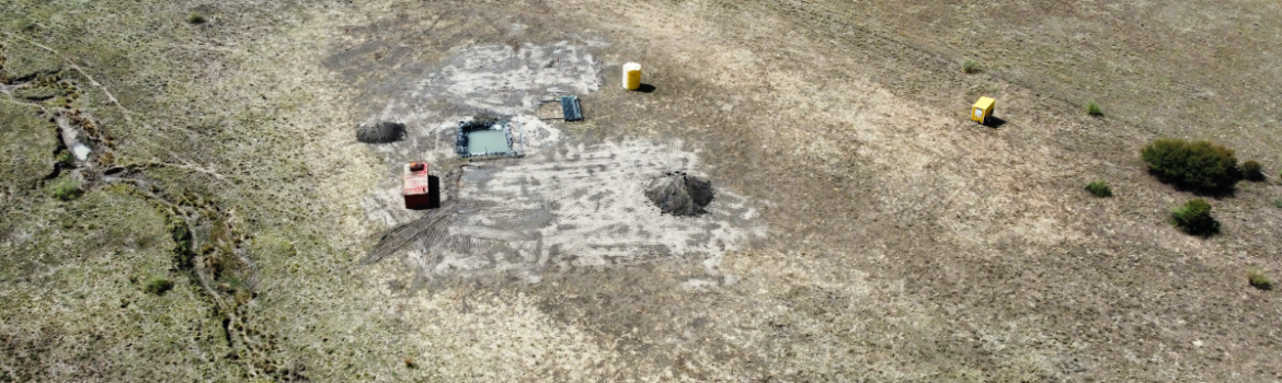
Proposed activities include identifying and analysing existing gas-emitting boreholes, drilling and sampling new core wells, conducting seismic and/or magnetotelluric surveys, and clearing vegetation of approximately 50mx50m for each drill pad. Up to 13 target drilling areas are proposed, though the current program focuses on three wells, each well will be approximately 650m deep and a maximum width of 350mm, with steel-casing and cement barrier and plugged for environmental safety and to prevent contamination of groundwater. Seismic surveys, potentially employing Vibroseis or Accelerated Weight Drop techniques and/or magnetotellurics survey, will cover over 100km of transects within the ER, realigned as new data emerges. Collaboration with other large-scale projects such as renewable energy project developers within the ER will be necessary to address overlapping land use.
Initial Call to Register and Notifications:
- Call to Register Letter- English, Afrikaans , and Sesotho (Click here).
- Locality Map (Click here)
- Background Information Document:
Scoping Report
- Environmental Scoping Report for Public Review (Click here)
- Appendix A: Site Maps (Click here)
- Appendix B: Curriculum Vitae of Environmental Assessment Practitioner (Click here)
- Appendix C: Public Participation (Click here)
- Appendix D: DFFE Screening Tool Report (Click here)
- Appendix E: Site Sensitivity Verification Report (Click here)
- Appendix F: Baseline Specialist Reports (Click here)
- Appendix F1: Baseline Soils, Agriculture, Freshwater and Terrestrial Biodiversity Assessment
- Appendix F2: Baseline Air Quality Assessment Report
- Appendix F3: Baseline Climate Change Assessment
- Appendix F4: Baseline Noise Assessment
- Appendix F5: Baseline Archaeological and Cultural Heritage Assessment
- Appendix F6: Baseline Paleontological Assessment
- Appendix F7: Baseline Geohydrological Assessment
- Appendix F8: Baseline Social Assessment
- Appendix G: Preliminary Impact Assessment Matrix (Click here)